
Map of Gotland
Interactive map of Gotland with the main places, beaches, sea stacks and attractions, from Visby to Fårö and down to the south of the Baltic island.
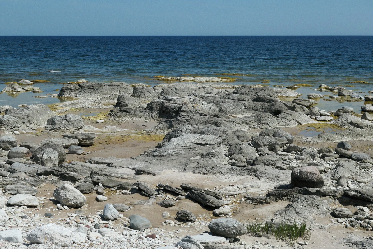
Gotland is the largest island in the Baltic Sea, from the Hanseatic town of Visby with its city wall, past the sea stacks in the north and on Fårö, to the beaches and churches inland. This interactive map brings places and destinations together, so you can plan trips by region rather than working through one long list.
All places on the map as a list (14)
Beaches
Key: what you'll find on the map
- Places: Visby, Fårösund, Fårö, Ljugarn and Tofta as starting points.
- Attractions: the city wall, cathedral, museum, cave, abbey ruin and family destinations. For a selection by time needed, see the Attractions guide.
- Sea stacks and nature: mainly Digerhuvud and Langhammars on Fårö, plus Folhammar on the east coast.
- Beaches: from Tofta near Visby to Sudersand on Fårö. For more options, see the Beaches guide.
Grouping trips by region
Visby and the west coast: plan the city wall, cathedral and museum on foot. Tofta or Lummelunda Cave work well as an additional half-day.
North and Fårö: Fårösund is the gateway to the free ferry across to Fårö. Combine a sea stack field there with the coast or a beach, rather than crossing the sound separately for each stop.
East coast and the island's centre: Folhammar and Ljugarn combine well with Roma or selected countryside churches. Check the opening hours of seasonal sights before you set off.
Getting around without a car: start in Visby and check the bus connection for each destination individually. Details are in Getting there and getting around; for remote day routes, the Car hire guide can help.